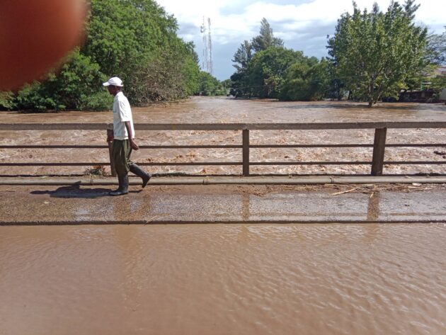
Transport along the busy Kericho–Awasi–Kisumu Road has been disrupted after River Nyando spilled over at Ahero Bridge, leaving the stretch unsafe and prompting an urgent warning to motorists to keep off the area.
The alert was issued by Government Spokesperson Isaac Mwaura on Monday, speaking for the Multi-Agency Emergency Response Secretariat, who confirmed that the river had overflowed and water levels were still going up.
He warned that the situation becomes more dangerous after dark, as drivers may not easily tell how deep or fast the water is moving.
"All motorists and road users along this route are advised to use alternative routes. Traffic to and from Kisumu should divert at Timboroa through Lesos to Kapsabet–Chavakali–Kisumu until the situation stabilises. Exercise extra caution, especially during the hours of darkness, as the depth and strength of the flowing water may not be easily visible."
The government said it is continuing to watch the situation closely and will give updates where necessary, urging the public to follow the guidance issued and take precautions.
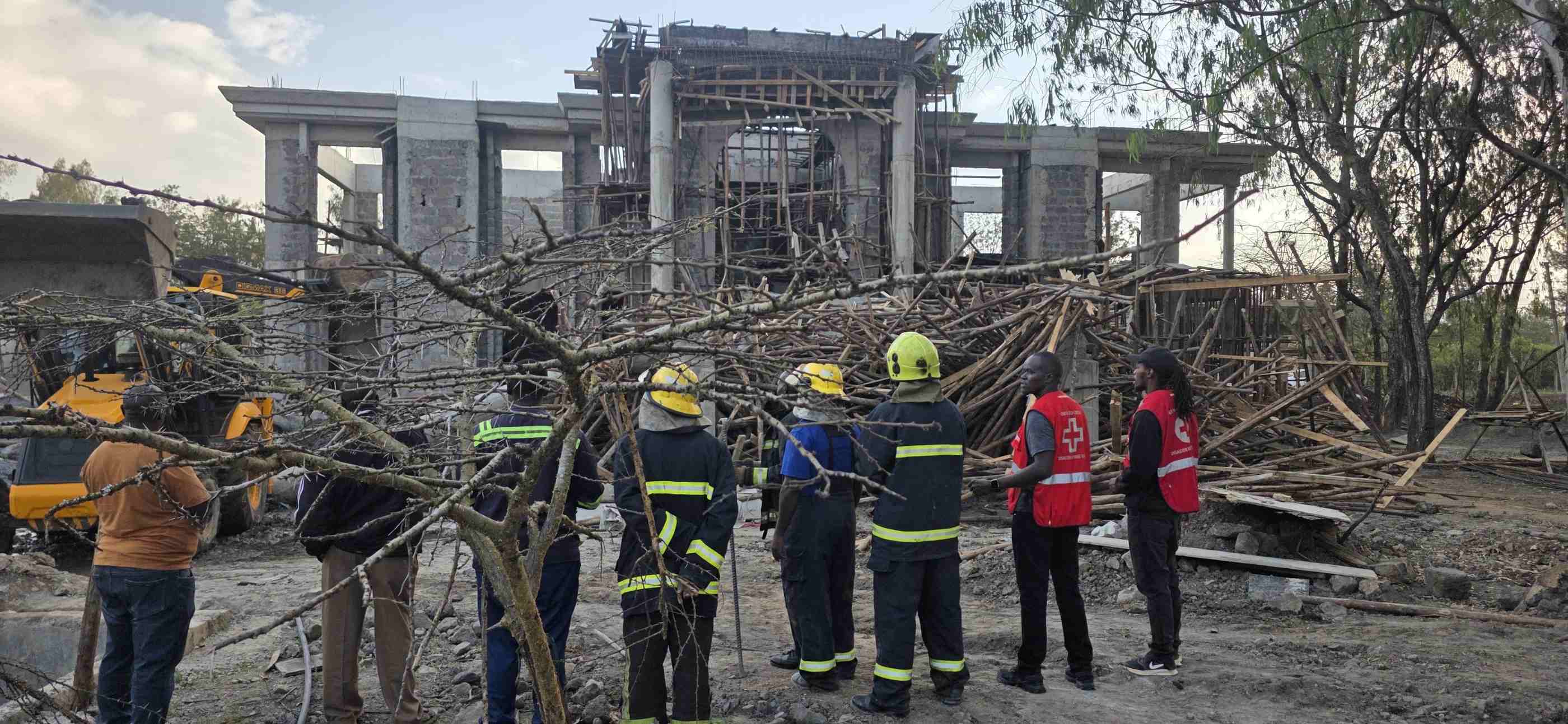
The incident comes as heavy rains continue to affect large parts of the country, leaving at least 81 people dead and displacing thousands in 21 counties, based on figures from the Ministry of Interior and National Administration.
Data released on March 22 shows seven people are still unaccounted for, while 68,975 households have been forced to move due to flooding caused by ongoing rains.
Counties badly affected include Nairobi, Kisumu, Narok, Kiambu, Migori, Siaya, Makueni, Busia, Wajir, Kisii, Homa Bay, Taita Taveta, Baringo, Kajiado, Kitui, Kwale, Machakos, Kericho, Embu, Tharaka Nithi, and West Pokot.
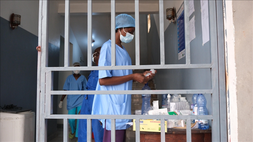
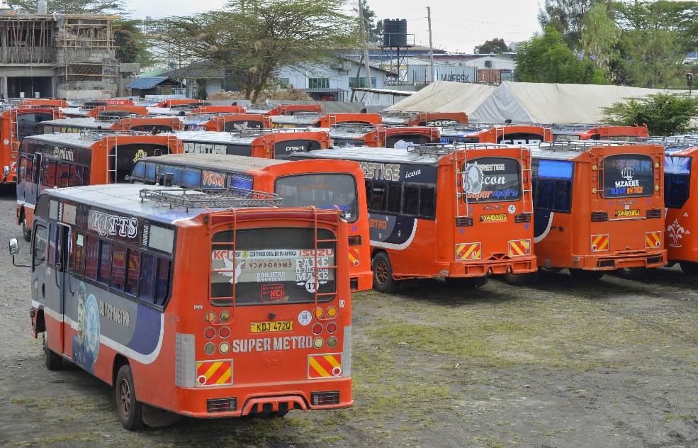
Essential services have been interrupted, with roads and bridges cut off, electricity supply affected in some areas, and water systems damaged.
Learning activities have also been affected as some schools remain closed, adding to the challenges faced by families.
Authorities said the floods have caused wide damage, including homes being submerged, farms destroyed, and markets and businesses flooded, raising concern over food supply and income.
Nairobi has recorded the highest number of deaths at 37, followed by the Eastern region with 21 and Rift Valley with 8.
Nyanza has reported seven deaths, Coast region five, while Central region has recorded three. No deaths have been reported in Western region so far.
The government is working together with the Kenya Red Cross Society and the National Disaster Operations Centre to support rescue operations, deliver aid, and restore damaged areas.
At the same time, the Kenya Meteorological Department has warned that more rains, flash floods, and storms are expected as the long rains season continues.